
")

Quickly organize and create your photographic technical documentation
Photography is a fundamental support for all relevant operations, which accompanies all stages of data acquisition.
In many cases, photography itself is a useful document for the purpose of surveying as it is possible to derive some useful information from the photographic image for the determination of the elements it contains.
Photography is of considerable importance in architectural documentation and constitutes an irreplaceable tool in architectural surveying both as a complementary documentation to survey graphics and as an auxiliary tool in survey operations.
There are many areas where it is necessary to document a given situation with photos:
-
Architecture
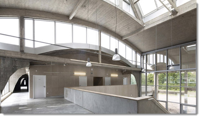 Record the construction evolution of a building, construction details and details of elements, all subdivided and organized according to a logical scheme, functional to quick information retrieval.
 -
As built
"As built" includes drawings and photographic documentation that describe the work as it is actually built, following design changes in progress or differences between the project and the construction.
It is clear that, even in this case, the photo is an extremely relevant aspect within the technical documentation.
caDDrag will be extremely useful to produce the documentation necessary to describe the work carried out through the plan of the shots and the photo book.
-
Building
As already mentioned, also for the architectural sector it is important to document the construction process of a building.
Historicize the workings, the installation of systems as well as the finishing of the elements are preparatory activities for future simplification and efficiency in planning the maintenance of the building.
-
Commercial
 Many products, especially in the construction sector, require prior inspection, survey and photographic documentation of the place where they are to be placed to verify the actual possibility of installation.
 -
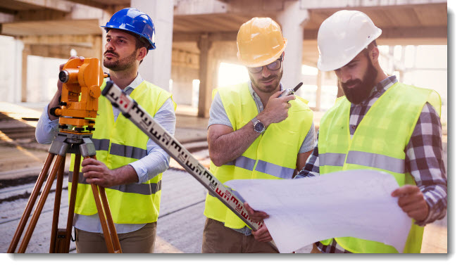
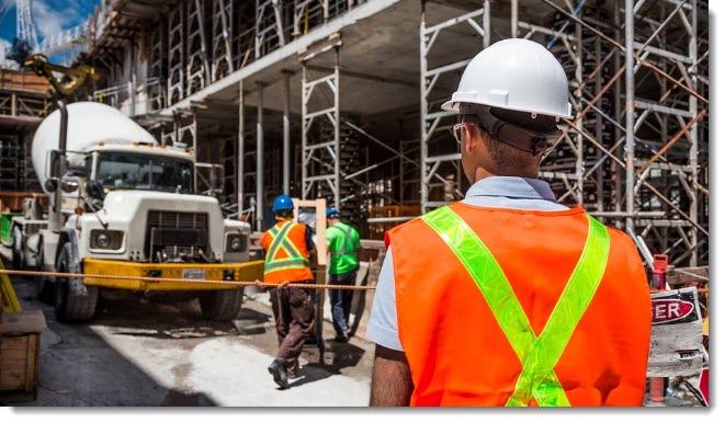
Construction supervision

The construction manager is the professional position chosen by the client, based on the works to be performed and the professional title required by current regulations for the execution of these works aiming to follow the regular progress of the construction site.
The tasks of the construction manager are manifold and among them:
- Check the correct execution of the works
- Site audit reports, carried out personally or entrusted to a third party
Also in this case, caDDrag is proposed as a valid tool to support the check of the works on the construction site.
-
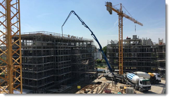
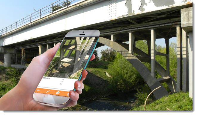
Engineering
 Complex engineering structures can be documented in their smallest construction details, obtaining a "mapping" of the different photographic snap points taken.
 -
Environmental
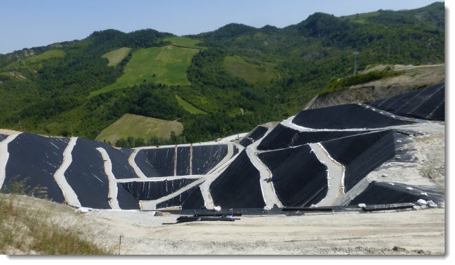
Landfills, purification plants require periodic maintenance surveys.
Historicizing the various surveys chronologically is one of caDDrag's functions.
The exact location of the photos will allow precise monitoring and correct evaluation of what is necessary for maintenance.
At the end of the photographic survey, you will obtain the plan of the shots positioned on the planimetry of the system.
-
Fire Prevention
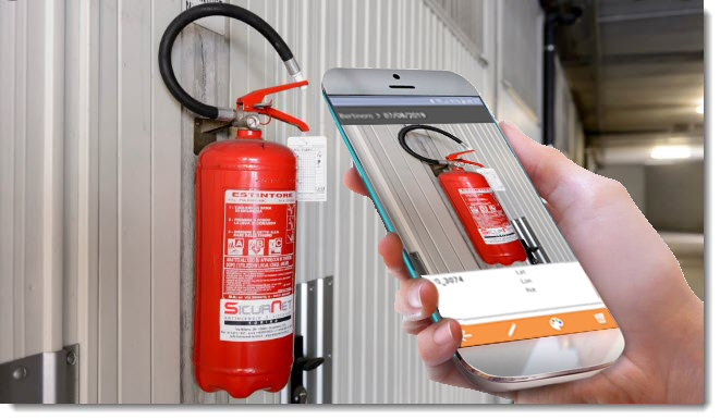
Map a plant during its construction is undoubtedly the best way to obtain efficiency in the management of maintenance over time.
Each single device can be located with a photo inside the system and connected to a technical data sheet by coding the photo itself.
From the encoded photos, it will be possible to extract a report in Excel and the plan of the shots
-
Geology
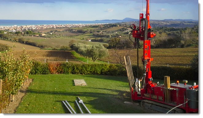
A particularly vast area which supports numerous construction activities.
Environmental and territorial investigations are often carried out in areas where production activities are yet to be set up or infrastructures or architectural complexes are yet to be built.
Also in this case, the geolocation of photographic surveying activities and the subsequent elaboration of the plan of the photographic snap points are essential.
-
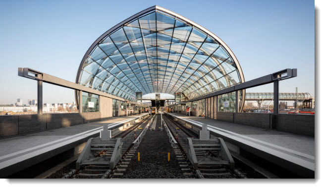
Infrastructure
Important road infrastructures often come to life in inaccessible places and far from certain references that allow their immediate identification.
Using caDDrag mobile, it will be possible to have on your smartphone the complete project of the work to carry out, allowing the immediate geolocation of any product or element of the work directly on the construction site.
-
Landscaping
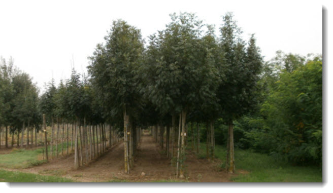
Survey and photographic inventory of a tree plantating, a nursery or a park.
Each photo will locate the plan precisely and the associated code will qualify its essence.
At the end of the photographic survey, you will automatically get the report in Excel and the plan of the shots
Still within the options of the APP, it is be possible, by filtering the codes, to isolate even just a single type of plant in order to plan subsequent maintenance interventions.
-
Maintenance
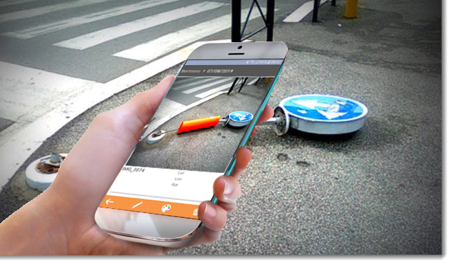
Good management of road maintenance starts from the premise of having an efficient problem reporting service.
Taking a picture is the fastest and most effective way to document and geolocate a certain situation that requires technical maintenance.
In addition, the possibility of sending the photo straight away to the departement in charge will allow the analysis the problem and a better intervention planning.
-
Plant
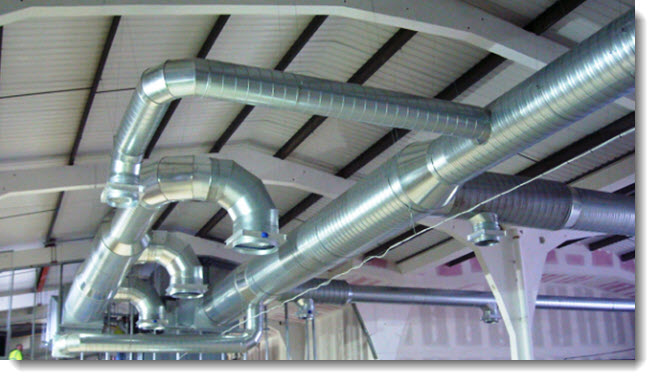
Mapping a plant during its construction is undoubtedly the best way to obtain efficiency in the management of maintenance over time.
Each single device can be located with a photo inside the system and connected to a technical data sheet by coding the photo itself.
From the encoded photos, it will be possible to extract a report in Excel and the plan of the shots
-
Safety
The safety coordinator on construction sites (CSE) is the figure appointed by the client or the person in charge for the work to ensure the coordination among the various companies involved, in order to reduce risks at work.
Among its roles, the CSE must verify:
- The fulfillment of the safety and coordination plan by the company for the entire duration of the works with appropriate coordination and control actions
- The correct application of the working procedures
He therefore has to report to the client or to the supervisor of the works the failure to comply with the provisions of the Consolidated Law on Safety, after a writing a counterclaim to the involved companies and self-employed workers.
caDDrag will be extremely useful to document accurately any kind of dissimilarity supporting the actions undertaken towards the executor of the work.
-
Topography
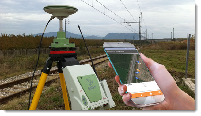 Any survey commissioned by a public authority also requires the delivery of the photographic file and the relative plan of the shooting points, in addition to the classic plano-altimetric return tables.
It is the norm and out of habit to take photos to accompany the survey performed to better document various peculiarities and particular points (foundations, station points, alignment points, etc.)
Home
Classifying and dividing the images of the survey is essential for subsequent consultation: only in this way will it be possible to find a specific photograph in a few seconds, thus saving a lot of time searching.
Thanks to the innovative technology of caDDrag, it will be a piece of cake to:
- historicize a monitoring and produce a chronological photographic document
- create the photographic documentation necessary for the Work Journal or for the Work Progress Status
- perform a targeted inspection or survey by displaying the project or the exact position of the element on the smartphone
- perform a photographic census furnished with the layout of the shots and an Excel accounting sheet
- and much more ...
" With caDDrag, in a few minutes, you will be able to achieve what would have taken
a lot of hours of work."