caDDrag Desktop PRO
The first software for the management of photographic technical documentation in a cad environment.
Same features as the PLUS version:
- Insertion of images in jpg, png, tiff, bmp format
- Organization of photos into "folders"
- Automatic renaming of file names
- Automatic resizing of file sizes
- Generation of the photographic file in rtf (doc) format on the basis of a predefined layout
- Installation on Windows Tablet
... in addition:
- Automatic insertion of Geotagged photos *
- Import of GPS files
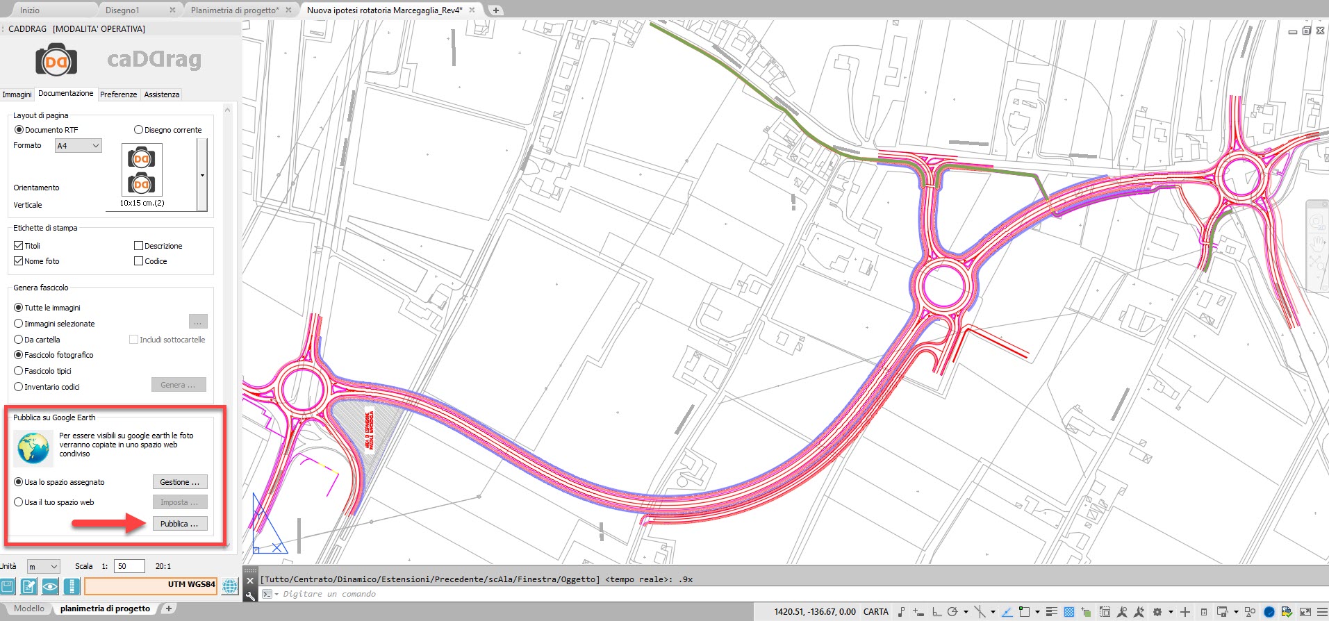
- Assisted publication of photos and drawings on Google Earth *.
- 50MB of web space
- FTP upload
- Export of KML files
- PRO APP
* One click to upload and make your photos available on the web.
Photos will only be visible to the people you want.
To be published, the photos must be uploaded in a web space, therefore, with the PRO version, you have 50MB space available (about 400 photos)
If you want, you can expand your space (contact us)
Photos will only be visible to the people you want.
To be published, the photos must be uploaded in a web space, therefore, with the PRO version, you have 50MB space available (about 400 photos)
If you want, you can expand your space (contact us)
Alternatively, if you have your own web server, you can set up the access and use your space.
* The accuracy of the point of view depends exclusively on the type of the device used.
caDDrag does NOT intervene in the calculation of the geographic coordinate, but merely displays the data transmitted by the GPS installed on the device.
caDDrag does NOT intervene in the calculation of the geographic coordinate, but merely displays the data transmitted by the GPS installed on the device.
Example:
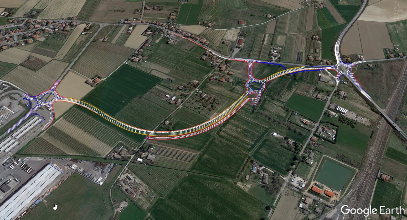
Publication of a road project
Do you want to show your client the project you are working on? Just one click to generate the KML file only with the information you want to share.
Publication of a road project
Do you want to show your client the project you are working on? Just one click to generate the KML file only with the information you want to share.


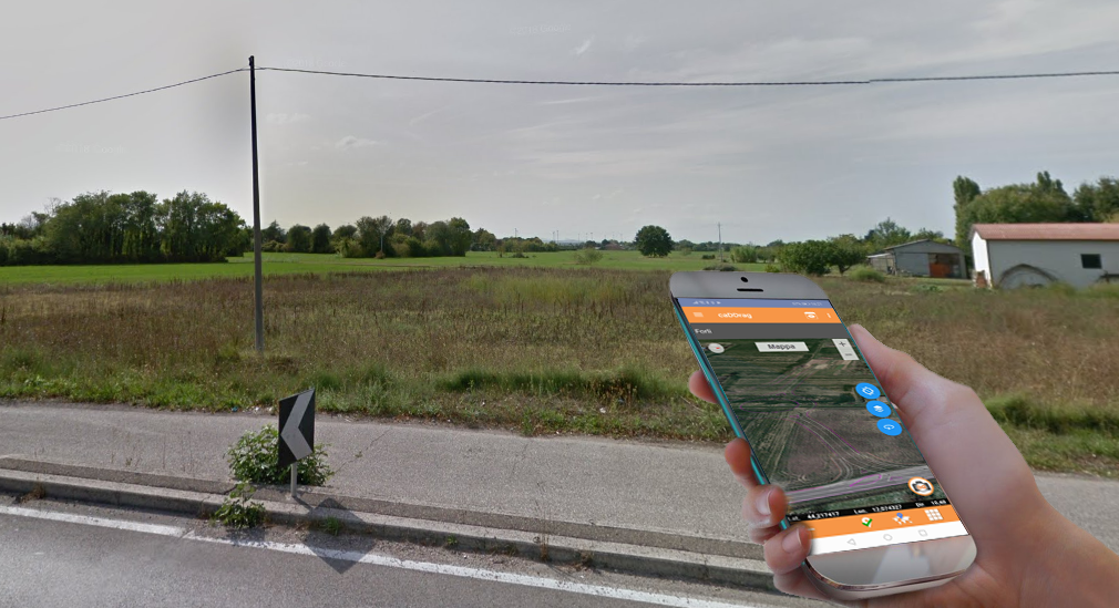
Furthermore, thanks to the APP, it is possible to import the project (KML file) also on the smartphone, in order to carry out the survey "walking" on the exact area of the intervention. By switching to the map view and activating the locator, it will be immediate to reach the desired point for a certain evaluation of the current state.


